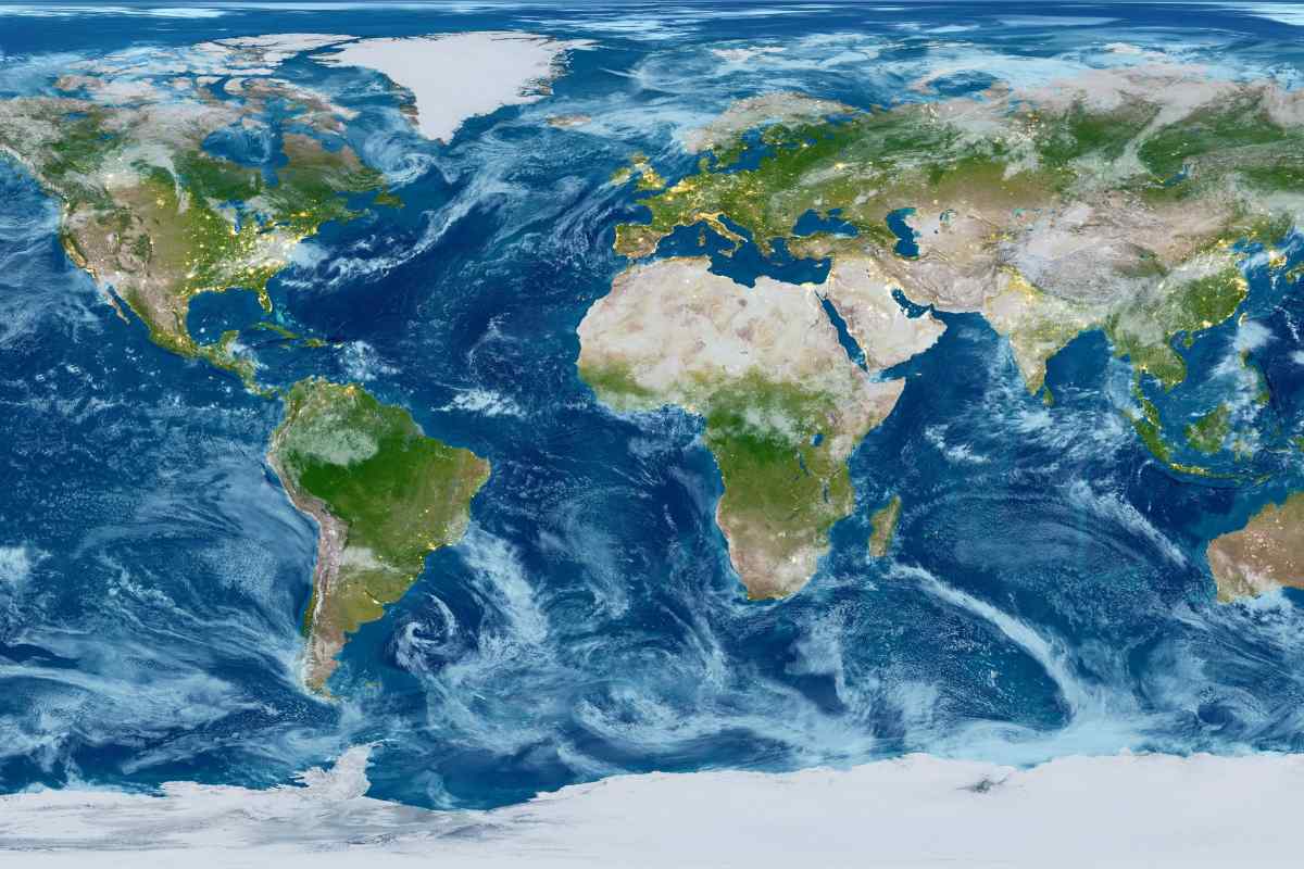
This is what the earth would look like without water. This was shown in an animated simulation produced by planetary scientist James O’Donoghue
What does it look like? Earth without all its vast oceansGreat lakes and meandering rivers? Surprisingly mountainous. This is what one reveals animated simulation It was produced by planetary scientist James O’Donoghue, formerly of NASA and currently with the Japan Space Agency (JAXA).
Working from a video that NASA physicist and animator Horace Mitchell created in 2008, O’Donoghue changed the timing and added a tracker to show how much water drained over the course of the animation.
All in all, the footage is a great way to show Earth’s underwater mountain ranges – the longest in the world – and the now submerged paths that have transported humanity across continents.
Continental shelves and marine edges are featured for each continent
Go slower at first because, somewhat surprisingly, there’s a lot, O’Donoghue explained underwater landscape Immediately revealed in the first tens of meters. The landscape mentioned by O’Donoghue is Continental shelves and submarine edges from every continent. These are areas of land with a mean elevation higher than the rest of the ocean layers surrounding the continents and representing the transitional landscape between the mainland and the abyss.
The land bridges that early humans used to migrate from one continent to another are also part of these highlands. Today they are submerged in water, but tens of thousands of years ago, when ocean levels were much lower due to the Ice Age creating huge volumes of ice at the poles, they were raised enough to be crossed on foot.
In those days one could simply walk from Europe to the UK, from Alaska to Siberia or from Australia to the many islands surrounding the mainland. Each of these connections allowed humans to do so migrate And when the ice age ended, the water would seal them.
middle edges of the ocean
But the oceans house much more than the movements of our ancestors. the The longest mountain ranges on earth They appear in the video as soon as the sea level drops by 2,000 to 3,000 metres.
These submerged mountains are known as middle edges of the ocean They form in areas where tectonic plates collide. They appear even in the deepest regions of the Earth, once all the water is washed away.
These deep oceanic trenches form when tectonic plates move away from each other, creating deep valleys where magma rises from the Earth’s interior to form new crust. To give an idea of how deep these valleys are, the Mariana Trench is shown for the first time in video after removing 6,000 meters of water. However, its bottom only becomes visible after another 5,000 meters or so.
The video shows the richness of the underwater landscape
About two-thirds of the planet is covered in water. Since we don’t get many opportunities to see the ocean floor, it’s common to imagine it as a vast, flat, featureless expanse.
O’Donoghue’s work, however, shows a The richness of the underwater landscape It reminds us that the ocean floor is by no means a dull place. In fact, it is one of the most beautiful and pristine borders on earth.
Follow us cable | Instagram | Facebook | Tik Tok | Youtube
source: between the planets
You may also be interested in:


